Hurricane Kiko Becomes Cat 4 as Lorena Approaches Mexico Coast
Major Hurricane Kiko Forms in the Pacific
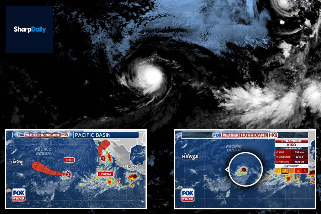
Hurricane Kiko has strengthened into a Category 4 storm in the Pacific, with maximum sustained winds reaching around 145 mph. The storm is currently located approximately 1,560 miles east of Hilo, Hawaii, moving westward at 9 mph.
Kiko’s intensification comes as Hurricane Lorena approaches the coast of Mexico’s Baja California as a Category 1 storm, with winds near 85 mph. Lorena is expected to weaken to a tropical storm by Thursday and possibly move inland by Friday.
Forecasts indicate that Kiko could further intensify over the next day, though fluctuations in its strength are likely afterward. At present, there are no land warnings or hazards related to Kiko.


Potential Impacts and Warnings
Authorities have advised residents along Baja California and northwestern Mexico to stay alert to storm updates. Lorena’s rainfall could total up to 15 inches in some areas, raising risks of flash floods and mudslides. Additionally, rough ocean swells could lead to dangerous rip currents along the coast.
Currently, tropical storm warnings and watches are in effect for large parts of Baja California and neighboring regions. The storm’s projected path suggests it could make landfall by Friday.

Forecasters continue monitoring both storms closely as conditions evolve in the Pacific. No immediate threats are posed to land from Kiko, but its future trajectory remains uncertain.